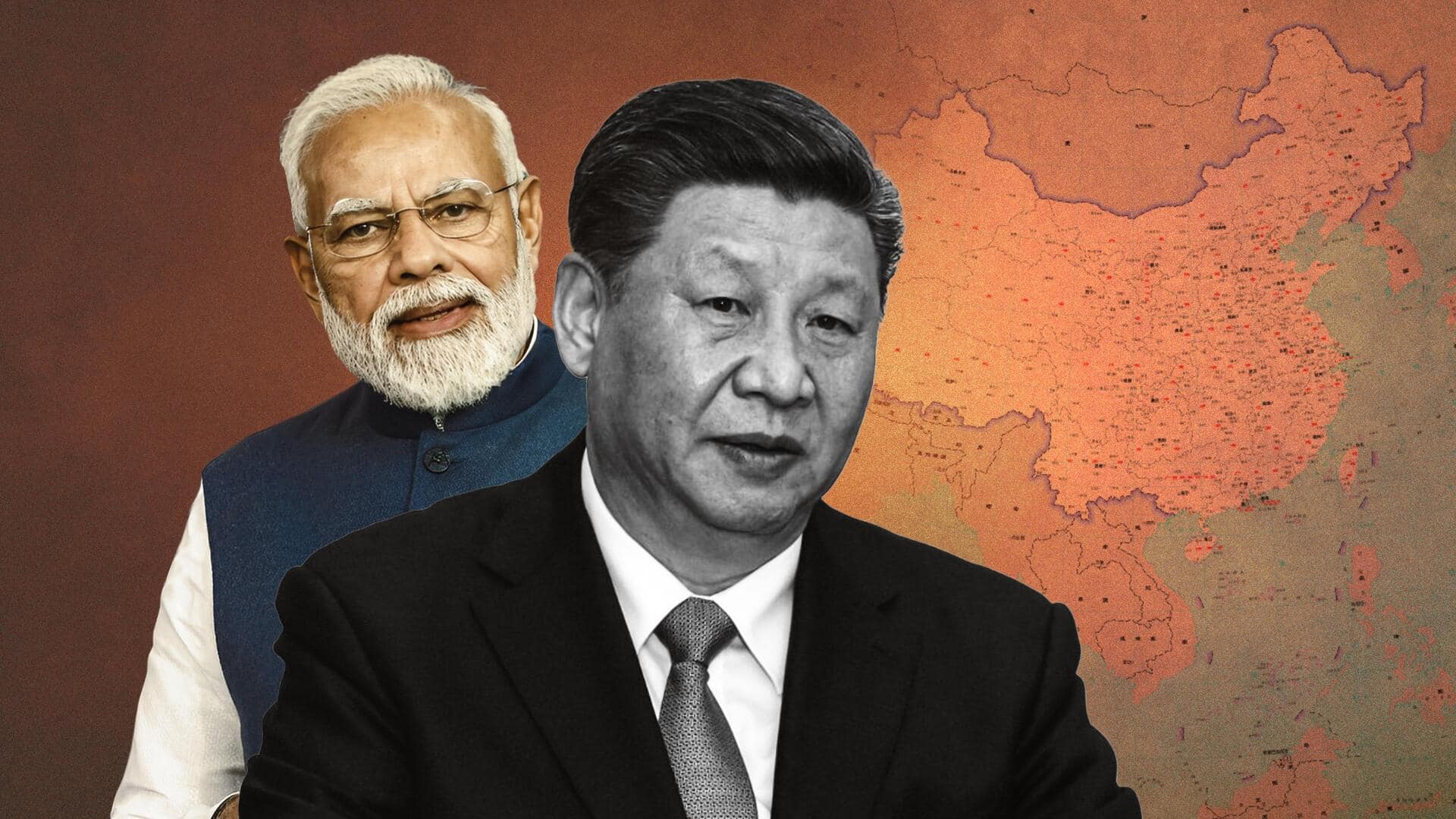
New Chinese map shows Arunachal Pradesh, Aksai Chin in China
What's the story
In a seemingly arbitrary move, China reportedly released the 2023 edition of its "standard map" on Monday, which wrongly showed parts of India as Chinese territories.
According to WION, the new map shows Arunachal Pradesh and parts of Jammu and Kashmir inside China.
This comes days before Chinese President Xi Jinping is expected to visit India to attend the G20 Leaders' Summit next month.
Context
Why does this story matter?
The development followed reports that Prime Minister Narendra Modi and Xi held "in-depth" talks on India-China relations during the recent BRICS Summit in South Africa.
They also reportedly "reached an important consensus" during the G20 Summit in Bali in November 2022.
Notably, India-China relations have been strained since 2020, when their forces clashed on the Line of Actual Control (LAC) in the Ladakh sector.
Wrong depiction
Wrong depictions in new China map
The new Chinese map also wrongly showed Taiwan inside China, a shift from the nine-dash line to a 10-dash line, which is against international laws.
The nine-dash line is a U-shaped line etched on the map by a Chinese geographer in the 1940s, asserting claims to 90% of the South China Sea, which the Philippines calls the North Philippine Sea.
Details
Latest map hosted by Chinese Ministry of Natural Resources
The latest edition of China's standard map was reportedly released on Monday.
It was launched on the website of the standard map service hosted by the Chinese Ministry of Natural Resources, according to the Chinese state-owned outlet Global Times.
"This map is compiled based on the drawing method of national boundaries of China and various countries in the world," it wrote on X.
Twitter Post
Image of map shared on X
The 2023 edition of China's standard map was officially released on Monday and launched on the website of the standard map service hosted by the Ministry of Natural Resources. This map is compiled based on the drawing method of national boundaries of China and various countries… pic.twitter.com/bmtriz2Yqe
— Global Times (@globaltimesnews) August 28, 2023
Reaction
Outrage over China's territory claims
Following the new development, the opposition reacted sharply back in India. Congress leader Manish Tewari termed the map "absurd and preposterous."
Shiv Sena (UBT) MP Sanjay Raut stated Congress leader Rahul Gandhi's claims that China entered Indian territory turned out to be true.
Interestingly, Bharatiya Janata Party (BJP) leader Subramanian Swamy attacked PM Modi over the issue, saying he failed to protect India's interests.
Dispute
India, China engaged in border conflict
Notably, in the 1962 war with India, China occupied the Aksai Chin region of J&K and abandoned Arunachal Pradesh, which it considers part of the Tibet region.
The two nations do not have an official international border but rather an LAC with differing perceptions of a de facto border of over 3,400 kilometers.
Moreover, the 2020 Galwan Valley battle heavily deteriorated India-China ties.