#NewsBytesExplainer: What causes earthquakes, the science behind it
What's the story
Earthquakes are among the most devasting natural disasters. The recent one in Turkey and Syria has killed over 8,700 so far.
According to the National Earthquake Information Center in the U.S., about 20,000 earthquakes around the globe are recorded each year, or approximately 55 per day.
But what causes earthquakes and how are they monitored? Let's understand the science behind these termors.
Definition
What is an earthquake?
An earthquake can happen anywhere on the planet. It occurs when two blocks of Earth suddenly slip past each other. The surface where the slip happens is called the fault or fault plane.
The region below the planet's surface where the earthquake originates is called the hypocenter while the location directly above it on the surface of the Earth is the epicenter.
Mainshock
The largest, main earthquake is called the mainshock
Sometimes an earthquake has foreshocks-smaller earthquakes that happen in the same place which are then followed by a larger earthquake. But foreshocks cannot be distinguished until a larger earthquake happens.
The largest, main earthquake is called the mainshock and is always followed by aftershocks.
Depending on the mainshock, aftershocks can continue for weeks, months, and even years after the mainshock.
Layers
Understanding the different layers of Earth
Among Earth's four main layers—the inner core, outer core, mantle, and crust—the crust and the top of the mantle make up a "thin skin" on the surface of our planet.
This "thin skin" is not one large block. Instead, it is made up of many pieces like a puzzle.
These puzzle pieces are called tectonic plates and their edges are called plate boundaries.
Tectonic plates
Most earthquakes occur along the faults at tectonic plate boundaries
The tectonic plates slowly move around, sliding past one another and colliding with each other. The plate boundaries have faults (inclined fracture) and this is where most earthquakes occur.
Since plate edges are rough, they get stuck while the rest of the plate keeps moving. When the plate has moved far enough, the edges unstick on one of the faults, causing an earthquake.
Cause
Energy stored between stuck blocks leads to an earthquake
Since the edges of faults are caught together, and the rest of the block is moving, the energy that would usually cause the blocks to slide past each other, gets stored up.
When the moving blocks exert enough force to overcome the friction of the hooked edges of the fault, the stuck edges come apart, subsequently releasing all the stored-up energy.
Information
What causes the Earth to shake during an earthquake?
The energy is expelled from the fault in the form of seismic waves, similar to ripples on a pond. These waves shake the planet as they traverse through it, and when the waves reach the surface, they shake the ground and anything on it.
Seismographs
Earthquakes are recorded by instruments called seismographs
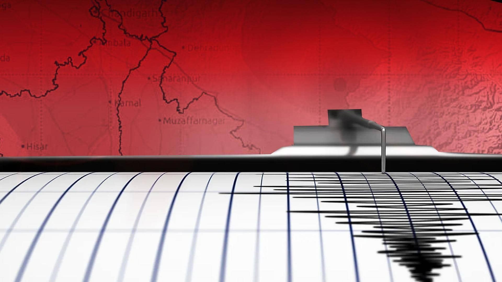
Earthquakes are recorded by seismographs. This instrument has a base firmly set in the ground and a suspended weight.
When an earthquake rattles the ground, the seismograph's base shakes too, but the hanging weight does not.
Instead, the spring that supports the weight absorbs the movement. What's recorded is the difference in position between the shaking part of the seismograph and the motionless part.
Seismograms
The recordings made using seismographs are called seismograms
The recordings made using seismographs are called seismograms which in turn determine how large the earthquake was.
A short "wiggly" line on a seismograph indicates a small earthquake while a long wiggly line means a large earthquake.
The length of the wiggle depends on the size of the fault, and the size of the wiggle depends on the amount of slip.
Location
Seismographs can help locate earthquakes
P and S waves in seismographs can help locate earthquakes wherein the former travels faster.
If you are close to the earthquake, the P and S waves will come one after the other, but if you are further away, there will be more time between the two.
By calculating the time difference between P and S waves, scientists can tell the location of earthquake.
Triangulation
It takes three seismographs to locate an earthquake's epicenter
To determine exactly where an earthquake occurred, a method called triangulation is used involving three seismographs.
On a map, draw a circle around three different seismographs in a way that the radius of each is the distance from that seismograph to the earthquake.
Now, the location where all the circles intersect is the location of the epicenter of the earthquake.
Information
Can we predict earthquakes?
The answer is no and it is unlikely that we will ever be able to predict them. Considering any fault plane, scientists know there will be an earthquake in the future, but there is no way of telling when it will happen.