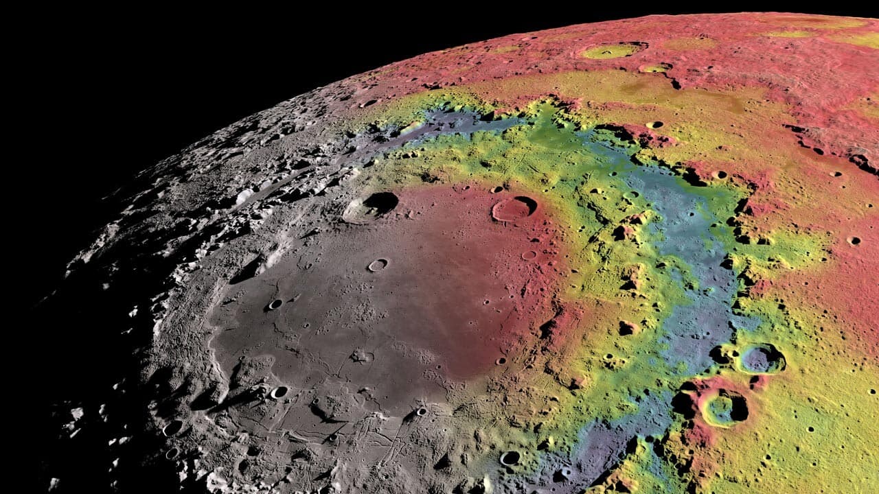
New lunar map could prove useful in future sample-return missions
What's the story
A team of scientists led by Kirby Runyon from the Planetary Science Institute in Tucson, Arizona, has created a detailed geological map of Mare Orientale basin, the Moon's youngest large impact site. Mare Orientale lies at the edge of the Moon's visible face from Earth, marking the boundary between its near and far sides. The new map could potentially help determine the precise age of this and other lunar basins, enhancing our understanding of Earth's early impact history.
Unique structure
Mare Orientale: A unique lunar feature
Mare Orientale, a low-lying expanse on the Moon filled with basaltic lava, appears darker than the surrounding highlands. This feature is commonly associated with ancient impacts that formed large basins on the lunar surface. The Orientale basin, thought to be the youngest of these impact sites, is estimated to be 3.8 billion years old. Its unique double ring structure and 930km diameter of the outermost ring make it a major point of interest for scientists.
Map details
Geological map to identify original impact melt
The new geological map created by Runyon's team is intended to assist scientists in finding the original impact melt among all the breccia. The map emphasizes two kinds of geological structures: material from the smooth but cracked basin floor (BFsc), and young, smaller impact craters atop Mare Orientale. These features are denoted with stars on the map, showing their ejecta debris strewn across the landscape.
Future implications
Map could aid future lunar missions
The geological map could prove useful in future lunar sample-return missions. If samples from the starred areas on the map are found to match those from BFsc areas representing original impact melt, scientists can use this technique for other basins. This would give them a way to date other impact basins on the Moon that have become more degraded than Orientale. The findings were published in the Planetary Science Journal this month.