How NASA has measured the carbon footprint of 100+ countries
What's the story
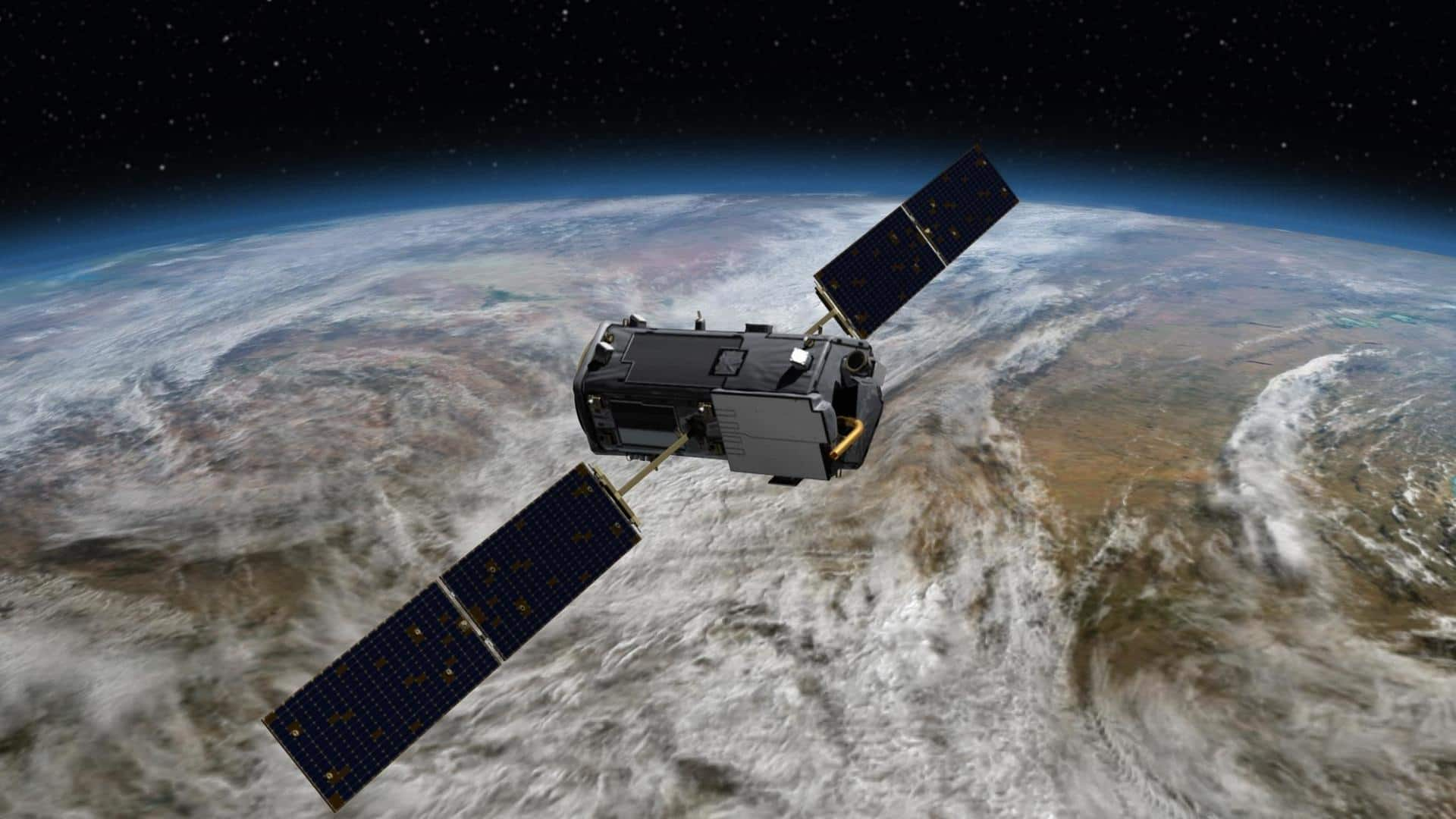
NASA, with the help of an Earth-orbiting satellite, has measured carbon dioxide emissions for more than 100 countries around the world. The pilot-scale project, which involved more than 60 researchers, estimated emissions and removals of carbon dioxide based on measurements made by the Orbiting Carbon Observatory-2 (OCO-2) mission. The findings depict how space-based tools could help achieve climate goals in the long run.
Context
Why does this story matter?
Study
Researchers also used surface-based observations for the study
The satellite data provides information about the carbon dioxide emissions in the countries, and the amount of carbon dioxide that is removed from the atmosphere by forests and other carbon-absorbing "sinks" within their borders. Along with data from the OCO-2 mission, researchers used surface-based observations to measure the rises and dips in the levels of atmospheric carbon dioxide.
Map
The data was collected from 2015 to 2020
NASA's map depicts the net emission and removal of carbon dioxide, between 2015 to 2020, based on the data from the OCO-2 satellite. The green areas represent countries where more carbon dioxide was removed than emitted. Countries with higher emissions are marked in shades of tan or brown, as per the legend provided on the map.
Explanation
What are 'sources' and 'sinks'?
Earth balances carbon dioxide via the carbon cycle and sources and sinks. "Source" essentially refers to a process where carbon dioxide is released into the atmosphere from plants, animal decay, deforestation, or from burning of fossil fuels like coal. A "sink" removes some of the atmospheric carbon dioxide. For instance, the photosynthesis process that occurs in plants and even oceans can classify as sinks.
Information
Research helps understand how much carbon dioxide was removed
Using this measurement-based method, also called the "top-down" approach, researchers were able to understand the balance between how much carbon dioxide was emitted and removed. Further, the study provides a picture of carbon movement through Earth's land, ocean, and atmosphere.
Implications
The first Global Stocktake will take place in 2023
Although the OCO-2 mission was not specifically designed to estimate emissions from individual nations, the findings will come in handy for another purpose. The first Global Stocktake will take place in 2023. It is the first official check on the implementation of the 2015 Paris Agreement on climate change that will assess the cumulative progress made by the world toward limiting global warming.
Significance
Why is the study important?
The study records fossil fuel emissions and the total carbon "stock" changes in ecosystems, which include trees, shrubs, and soils. This data is especially useful for keeping track of carbon dioxide fluctuations that are associated with the change in land cover. Researchers hope that this pilot project can be further expanded to understand the change in emissions from individual nations.