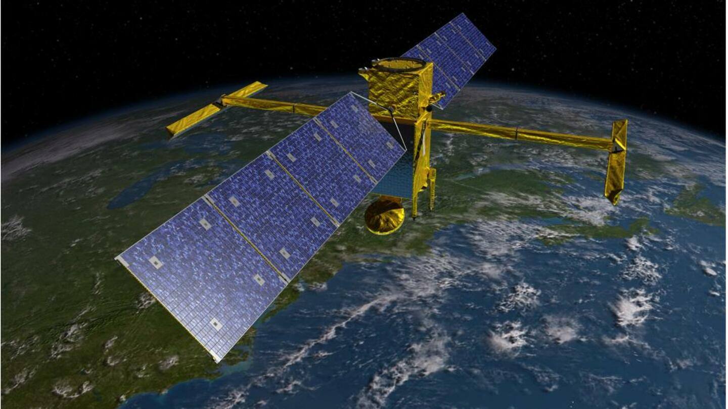
NASA's SWOT satellite will monitor Earth's water bodies: Here's how
What's the story
NASA's Surface Water and Ocean Topography (SWOT) satellite will conduct the first-ever global survey of Earth's water systems, covering oceans, rivers, lakes, and coastal areas, from space. The $1.2 billion satellite will be the first to measure the height of water in these bodies. This mission will provide crucial information about the global ocean-atmosphere heat exchange, which will improve climate forecasts.
Context
Why does this story matter?
SWOT will probe at least 90% of the Earth and will survey the water bodies at least once every 21 days. It will be the first to provide 3D images of floods and has 10 times more spatial resolution than existing technologies. Understanding the Earth's water cycle will help deal with natural calamities like droughts and floods and will provide insights into global warming.
Details
The SWOT satellite will take off on Falcon 9 rocket
The SWOT satellite will take off on Space X's Falcon 9 rocket from Space Launch Complex 4 East, at Vandenberg Space Force Base in California, at 3:46 am PST (5:16 pm IST today ie. December 16). It has been developed by NASA in collaboration with France's National Centre for Space Studies (CNES), with contributions from Canadian Space Agency and the United Kingdom Space Agency.
Mechanism
How will SWOT track water bodies across Earth?
SWOT will work on the 'Radar interferometry' technology. The two sets of signals that will be sent out will bounce off the Earth and will be received by the transmitter. The interference of these two signals will help determine the depth of water bodies. This method will allow the study of the elevation, extent, and movement of water across the globe with unprecedented detail.
Instruments
SWOT will be positioned 890km above Earth
The 2,000kg SWOT satellite will be positioned about 890km above Earth for a duration of about three years. It will carry an X-band radio communications system to relay the obtained data to scientists, a radiometer to correct for the delay in receiving signals from moving water, and a thermal management system to keep the satellite stable in the extreme temperatures of space.
Accomplishment
SWOT can monitor rivers wider than 330 feet
SWOT will also be the first to provide a 3D view of eddies (water currents). It can detect 10km-wide perturbations, which is one-tenth the scale of the best measurements available now. It can monitor lakes larger than 15 acres and rivers wider than 330 feet. At present, rivers are monitored by ground-based systems, which are expensive to install and are limited to certain locations.
Significance
SWOT will survey almost 6 million lakes and reservoirs
The currently available data includes just 10,000-20,000 of approximately six million lakes and reservoirs larger than one hectare on the planet. SWOT will measure almost all the six million water bodies, every 10 or 11 days. This data will be useful in assessing the water resources on land, monitoring regional sea level changes, tracking coastal processes, and observing small-scale ocean currents and eddies.
Official words
SWOT data will be available to the public
"This matters a lot whether you're thinking about an ecologically vulnerable lake, or if you're thinking about a lake in a rural part of India where people depend on that water for irrigating their crops," said Tamlin Pavelsky, SWOT's science lead. "SWOT is going to provide free and open data that everyone needs in order to be able to track these really important resources."