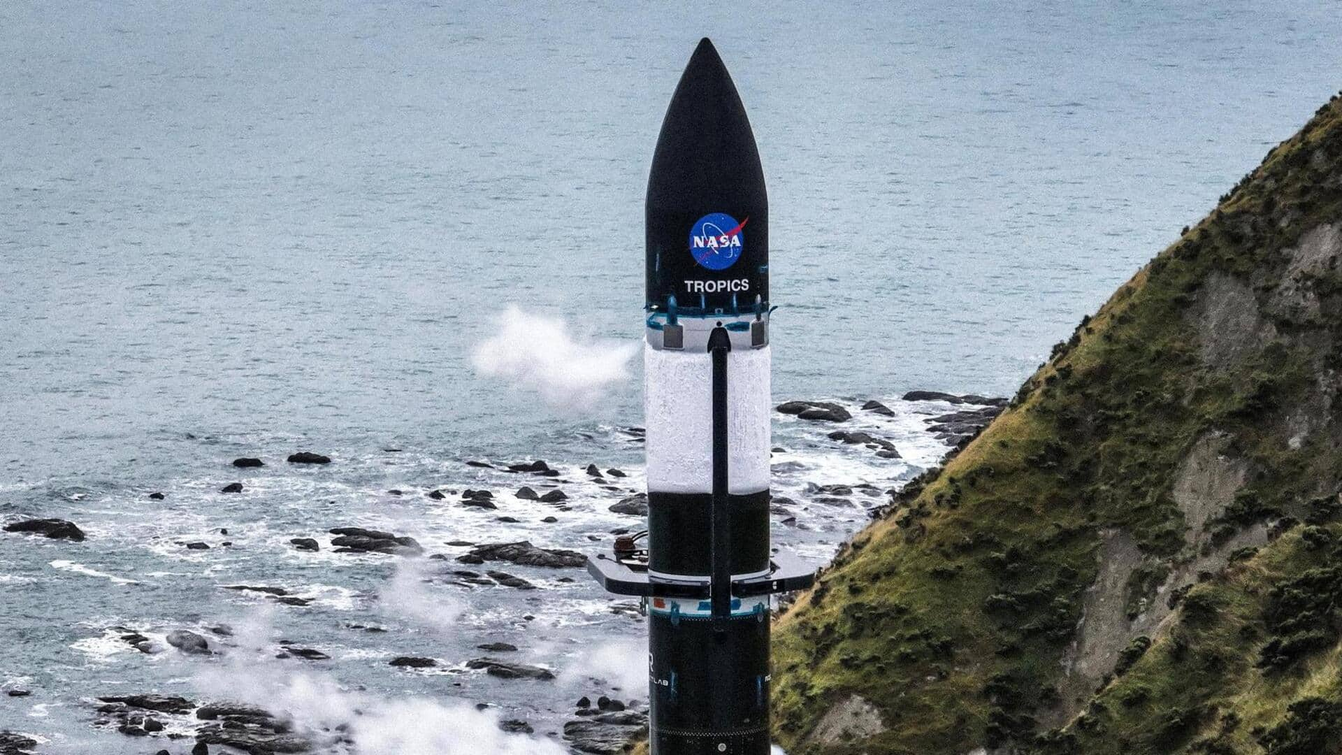
NASA launches final set of satellites part of hurricane-tracking mission
What's the story
NASA has successfully launched the second set of satellites as part of the TROPICS mission, short for Time-Resolved Observations of Precipitation Structure and Storm Intensity with a Constellation of Smallsats. The shoebox-sized satellites-called CubeSats-took off on Rocket Lab's Electron vehicle from Launch Complex-1 in Mahia, New Zealand. The newly launched CubeSats will join two other TROPICS satellites which took off earlier this month.
Context
Why does this story matter?
What makes TROPICS stand apart is that its satellites are inclined in such a manner in orbit that they can pass over any given storm about once an hour. In other words, more frequent measurements simply translate to better weather forecasting. Scientists hope the TROPICS satellites will be in operation by the start of the hurricane season in North America this year.
Launch
What is the TROPICS mission about?
The TROPICS mission will form a constellation of four identical CubeSats for monitoring tropical cyclones. Positioned in the low Earth orbit (LEO), one of the key highlights of the mission is that it will make more frequent observations than the current weather-tracking satellites. TROPICS will survey intense tropical storms in terms of precipitation, temperature, and humidity, conducting observations almost on an hourly basis.
Mission
TROPICS will gather data more frequently
Current weather-tracking satellites perform investigations every six hours. By gathering data more often, TROPICS will help scientists improve tropical cyclone forecasts. Each TROPICS CubeSat will be equipped with a microwave spectrometer that observes over 12 spectral bands: seven to measure temperature, three for humidity, one for precipitation, and one for cloud ice, said NASA in a blog post.
Working
TROPICS will orbit Earth at an altitude of 550 kilometers
The TROPICS satellites will orbit Earth at an altitude of around 550 kilometers, inclined at around 30 degrees. The satellites will cover the part of the Earth where tropical cyclones form. The position of the satellites in orbit will allow them to cover an area stretching from the mid-Atlantic region of the US to the southern coast of Australia, about once an hour.
Official words
'Ability to understand tropical cyclones has been limited'
"The ability to advance our understanding of tropical cyclones from space has been limited by the ability to take frequent measurements, particularly from microwave instruments that see into the storms," said Will McCarty, program scientist for TROPICS mission. "Historically, satellites have been too large and expensive to provide observations at a time-frequency that is consistent with the timescales at which tropical cyclones can evolve."
Significance
CubeSats make way for low-cost launches
McCarty added that the CubeSat era has allowed for smaller, less expensive satellites. The small-satellite design allows the building constellation that "optimizes the scientific utility of the mission" while enabling launch in a cost-effective manner. "These factors enable TROPICS to provide a new understanding of tropical cyclones by decreasing the time by which a given storm is revisited by the satellites."