How NASA-ISRO's NISAR mission will track disasters and climate change
What's the story
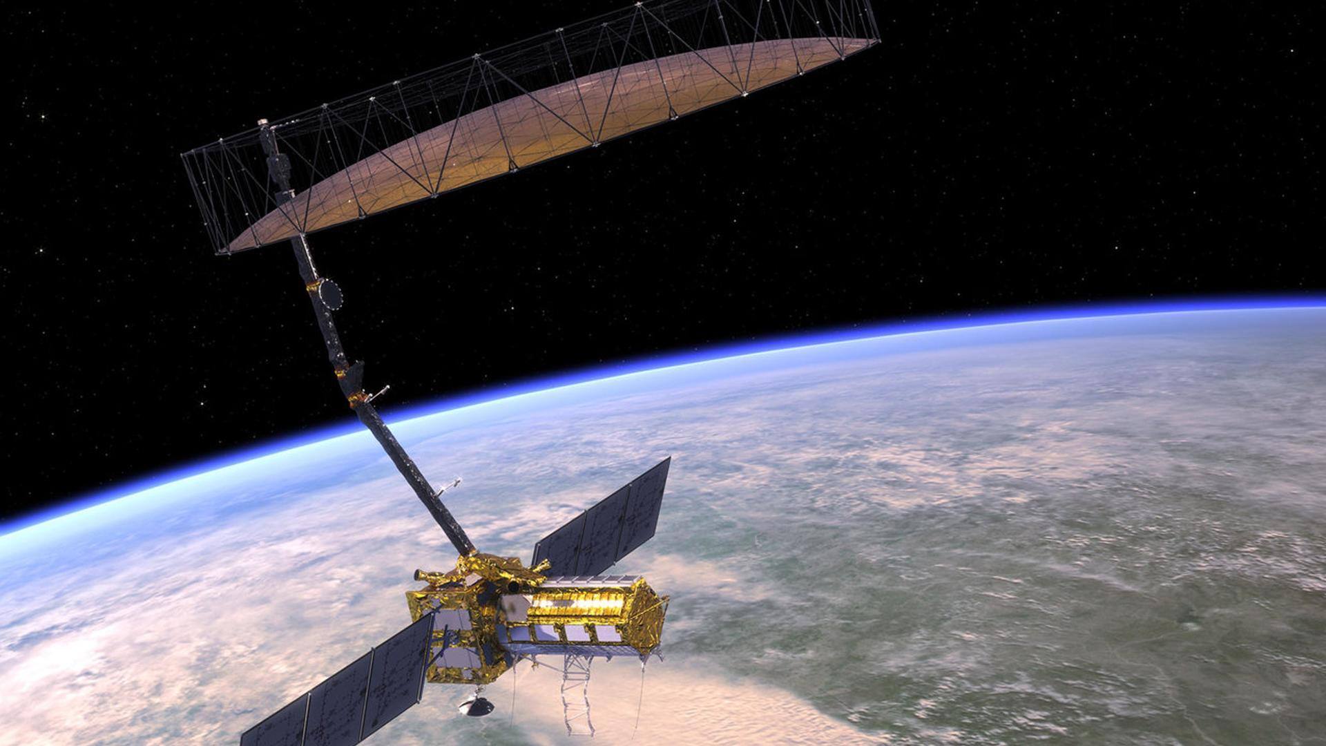
The NISAR (NASA-ISRO Synthetic Aperture Radar) mission, by means of a radar imaging system, will provide the most detailed view of Earth. The SUV-sized satellite is designed to observe some of Earth's most complex processes including ecosystem disturbances, ice-sheet collapses, and natural hazards such as earthquakes. It will also enhance our understanding of Earth's crust. The mission is expected to launch in 2024.
Context
Why does this story matter?
At around $1.5 billion, NISAR is expected to be the most expensive Earth-imaging satellite ever. It is a result of a partnership between NASA and the Indian Space Research Organization. The satellite contains breakthrough tech that will have a far-reaching impact. It can help scientists better manage natural resources and hazards, as well as provide information on the effects and rate of climate change.
Significance
NISAR data will be crucial for future hazard management
NISAR is the first satellite mission to collect radar data in two microwave bandwidth regions, called the L-band and S-band. This will enable the mission to map the Earth's surface in extreme detail. It can detect changes less than one centimeter across. Along with improving our understanding of the planet's processes, crust, and changing climate, NISAR data will aid in future hazard management.
Information
NISAR can also help monitor groundwater supplies
By tracking subtle changes in Earth's surface, NISAR will "spot warning signs of imminent volcanic eruptions, help to monitor groundwater supplies, track the melt rate of ice sheets tied to sea level rise, and observe shifts in the distribution of vegetation around the world."
Data processing
NISAR can collect data during any weather conditions
NISAR will use a sophisticated information-processing technique known as synthetic aperture radar to produce extremely high-resolution images. Since radar penetrates clouds and darkness, NISAR can collect data during the day and night irrespective of the weather conditions. The L and S dual band Synthetic Aperture Radar (SAR) payloads will be mounted on Integrated Radar Instrument Structure (IRIS) and together make up the observatory.
Information
NISAR can map the whole globe in 12 days
NISAR can map the whole globe in 12 days. The mission team intends to make the obtained data available to the public in one to two days but can deliver that data within hours in case of an emergency.
Contributions
NASA will provide engineering payloads for the mission
NASA is responsible for providing the L-Band SAR payload system while ISRO will supply the S-Band SAR payload. Both these SAR systems will make use of a large size (about 12-meter wide) "common unfurlable reflector antenna." Additionally, NASA would provide engineering payloads for the mission, including a Payload Data Subsystem, High-rate Science Downlink System, GPS receivers, and a Solid State Recorder.
Launch
NISAR is expected to take off in January 2024
NISAR is planned to take off from India's Satish Dhawan Space Center in Sriharikota, India, into a near-polar orbit, on the GSLV expendable launch vehicle contributed by ISRO. The target launch date is set for January 2024. The first 90 days after launch will be allocated for commissioning, or in-orbit checkout (IOC), where the observatory will be prepared for science observations.