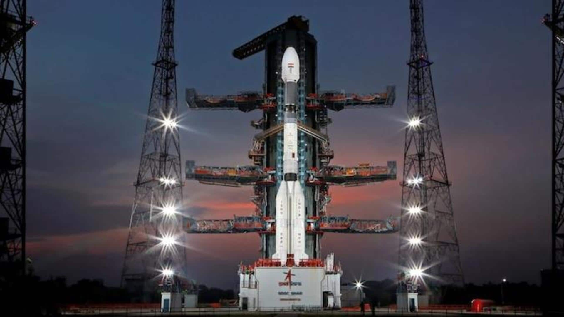
ISRO successfully launches GSLV-F12/NVS-01 mission: Why it is significant
What's the story
The Indian Space Research Organisation (ISRO) has successfully launched the GSLV-F12/NVS-01 mission.
The mission, which is carrying a navigation satellite called NVS-01, took off aboard the Geosynchronous Satellite Launch Vehicle (GSLV). The launch took place at 10:42am from Satish Dhawan Space Centre (SDSC), Sriharikota.
The expedition will play a key role in expanding India's satellite-based navigation system, NavIC (Navigation with Indian Constellation) services.
Context
Why does this story matter?
The GSLV-F12/NVS-01 mission is the fourth launch for ISRO this year. Earlier in March this year, ISRO launched two Singaporean satellites aboard the PSLV-C55 launch vehicle.
The latest mission marks the ninth launch of the GSLV, which has an indigenous cryogenic stage with a liftoff capacity of 420 tons. Notably, GSLV flew on its first space flight in 2001.
Mission
Payload weighs roughly 2,232kg
The mission's payload, the NVS-01 navigation satellite, is expected to separate from GSLV about 18 minutes after launch.
The satellite, which weighs roughly 2,232kg, will be deployed into the Geosynchronous Transfer Orbit (GTO).
The team will then carry out "orbit raising maneuvers" that are meant to take the satellite toward the intended orbit, as per ISRO.
Satellite
NVS satellites to help widen services that NavIC offers
NVS-01 is the first of the second-generation satellites designed for navigation via the NavIC services.
The NVS series of satellites are built to sustain and augment the NavIC, the indigenous satellite-based navigation system, with "enhanced features," according to ISRO.
The NVS satellites incorporate L1 band signals that will help additionally "widen the services" that NavIC can provide.
Information
How long will mission last?
The GSLV-F12/NVS-01 mission is expected to last 12 years. The mission is also carrying an indigenously developed rubidium atomic clock from Space Applications Centre, Ahmedabad. "It is an important technology that only a handful of countries possess," said ISRO.
NavIC
What exactly is NavIC?
Talking about NavIC, it is a regional navigation satellite system built by ISRO. It offers two services meant for general users and strategic users, like the armed forces.
It comprises a constellation of seven satellites that operate round the clock, along with a network of ground-based stations.
NavIC spans an area covering the entire India and extends up to 1,500km beyond the Indian boundary.
Implication
NavIC has host of applications
NavIC signals are designed to provide user position accuracy better than 20m and timing accuracy better than 50 nanoseconds, per ISRO.
The technology has a host of applications, including terrestrial, aerial, and marine transportation and location-based services.
NavIC's Standard Position Service (SPS) signals are interoperable with other global navigation satellite system (GNSS) signals, including the GPS (Global Positioning System) and GLONASS.