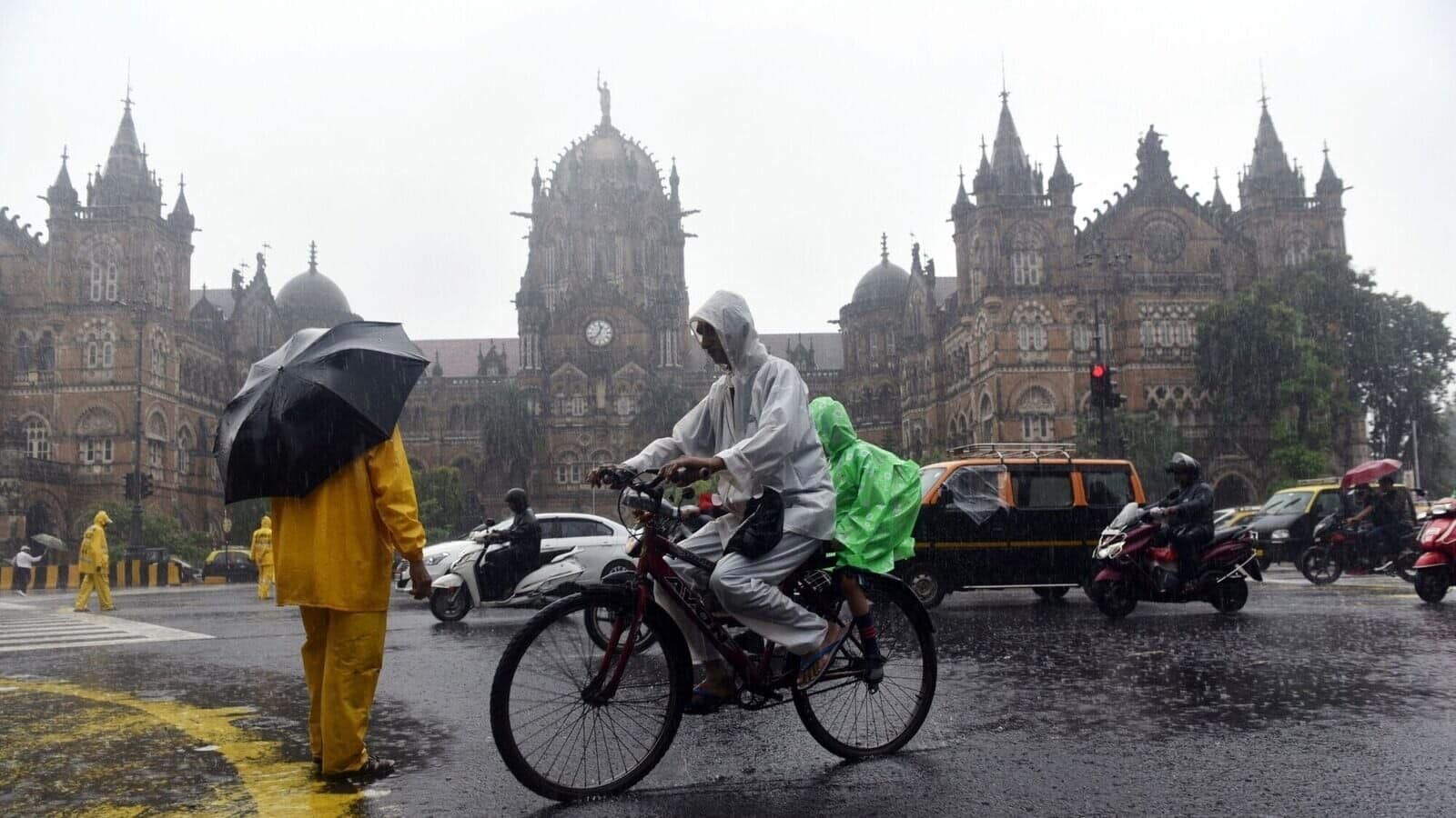
IIT-Bombay's new app can predict rainfall, monitor floods in Mumbai
What's the story
The Indian Institute of Technology Bombay (IIT-B) has introduced a hyperlocal weather forecasting system, and flood monitoring platforms specifically designed for Mumbai.
Developed by the Interdisciplinary Programme in Climate Studies (IDPCS) team at IIT-B, the system provides near real-time rainfall and waterlogging information.
Currently, this service is exclusively available to Mumbai residents via a web portal and the Mumbai Flood App.
Partnership
Collaborative effort
The weather forecasting initiative is a joint venture between the HDFC-ERGO IIT Bombay (HE-IITB) Innovation Lab, funded by HDFC ERGO, and the MCGM Centre for Municipal Capacity Building and Research (MCMCR).
The system utilizes weather data from the Indian Meteorology Department's main observatories in Santacruz, Colaba, and Marine Lines.
Additionally, it incorporates information from more than 60 automatic weather stations and rainfall monitoring stations, across Mumbai and its surrounding areas.
Tech-driven
Advanced technology powers the system
The system's hyperlocal rainfall forecasts are derived from global forecasting systems (GFS) and further refined through AI/ML modeling.
Users can access hourly rainfall updates for the next 24 hours, on the rainfall tab in both the website and app.
The system also provides live water-level information from nine monitoring stations located in multiple flood-prone areas in Mumbai.
Users can report floods in their area by filling out a form on the website/app.
Participation
Community engagement in weather forecasting system
Subimal Ghosh, the Convener of the climate studies program at IIT-B, emphasized the community-driven nature of the project.
The app allows users to upload a location, the user's height, and water level.
Ghosh explained, "As and when users upload this data, it will be made available to the public immediately."
Currently available only on Android devices, the app aims to involve Mumbai's residents in data collection efforts.
Future plans
Weather app will aid in flood management planning
The app also provides flood alerts to citizens, utilizing water level measurements from sensors at critical locations like the Mithi River and Vakola Nala.
Ghosh stated, "This is an app made for Mumbaikars by Mumbaikars. The data we collect with this app will help government bodies to prepare a flood management plan for next season."
This initiative is a significant step forward in localized weather forecasting and flood management for Mumbai.