Google Maps can help you locate shelters during natural disasters
What's the story
Google Maps, the popular navigation app, has added a handy feature that lets you find emergency shelters during crises. The tool can prove especially useful in cases where you haven't made prior arrangements for emergencies. It is available on Android as well as iOS, and requires an internet connection to work seamlessly.
Alert system
Crisis alerts: A lifeline in emergencies
Google has also developed a crisis alert system to keep users informed during emergencies. These notifications come with a red alert icon and give a detailed overview of the situation, including updates and external resources. In some cases, alerts may even be issued ahead of an impending disaster like a hurricane, with Google predicting the storm's path on Search and Maps.
Tech reliance
Google's advanced technology for disaster notifications
Google depends on trusted sources and robust technology to provide disaster notifications. It collects data from organizations such as the National Interagency Fire Center (NIFC) and National Oceanic and Atmospheric Administration (NOAA). The tech giant also uses satellite images from GOES, Himawari-9 satellites, and a deep learning model that provides real-time information about fire boundaries and road closures.
Shelter search
Navigating to emergency shelters
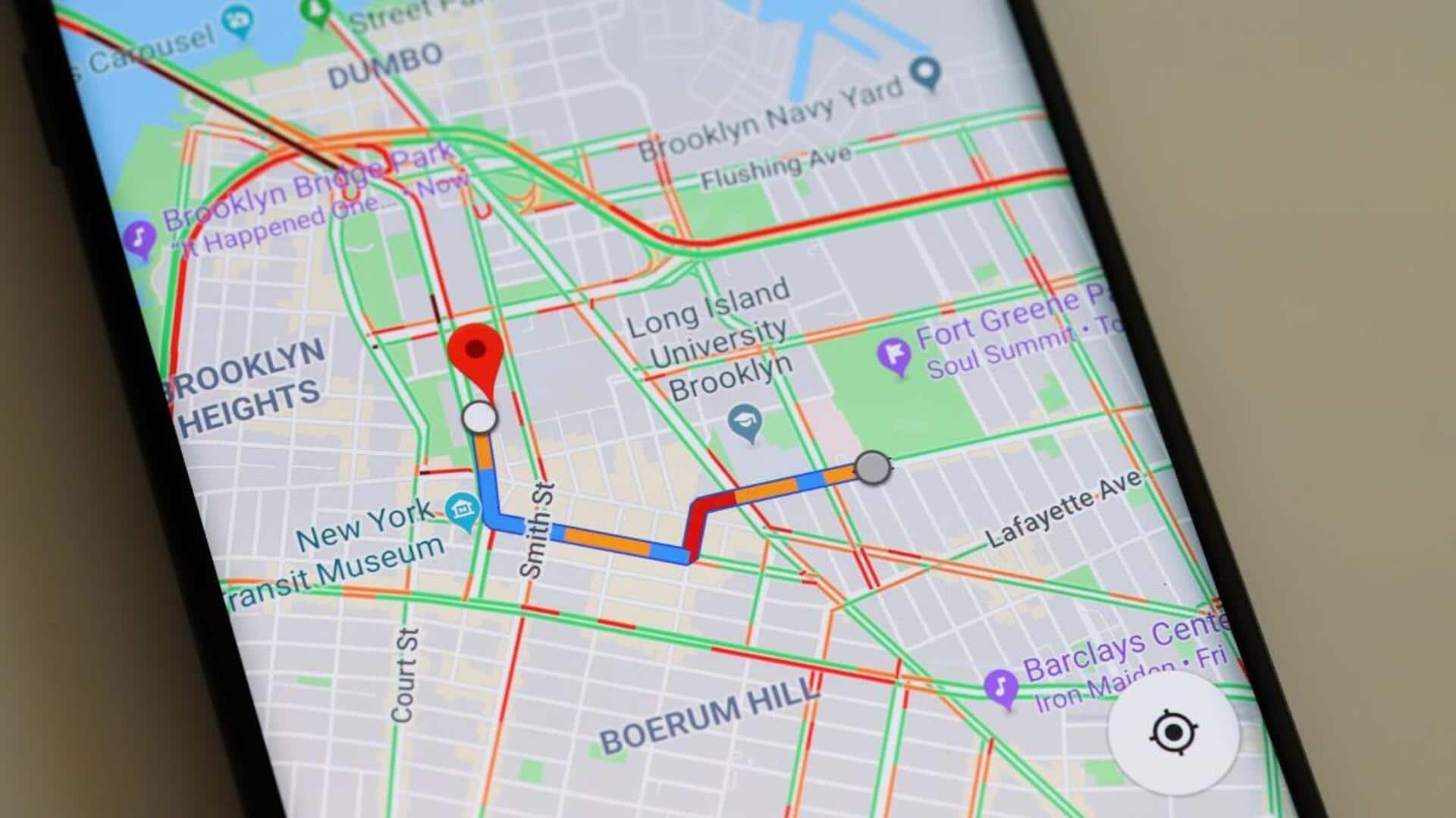
Upon getting an emergency alert, you can use Google Maps to locate nearby shelters and the fastest routes. The app considers current road conditions, closures, and traffic. However, do note that Google Maps needs an internet connection for real-time updates. In case of connectivity issues during emergencies, you should download offline maps for navigation purposes.
Layer feature
Utilizing 'layers' feature for disaster information
The layer feature in Google Maps gives users a quicker way to get information about disasters, mainly wildfires. The tool lets users see ongoing fires in their area without having to enter search queries. This feature doesn't apply for other types of emergencies like floods and earthquakes, at least as of now. To use it, open Maps, and tap the layers icon (looks like square on another square) > select Wildfires > choose a nearby fire to view its information.