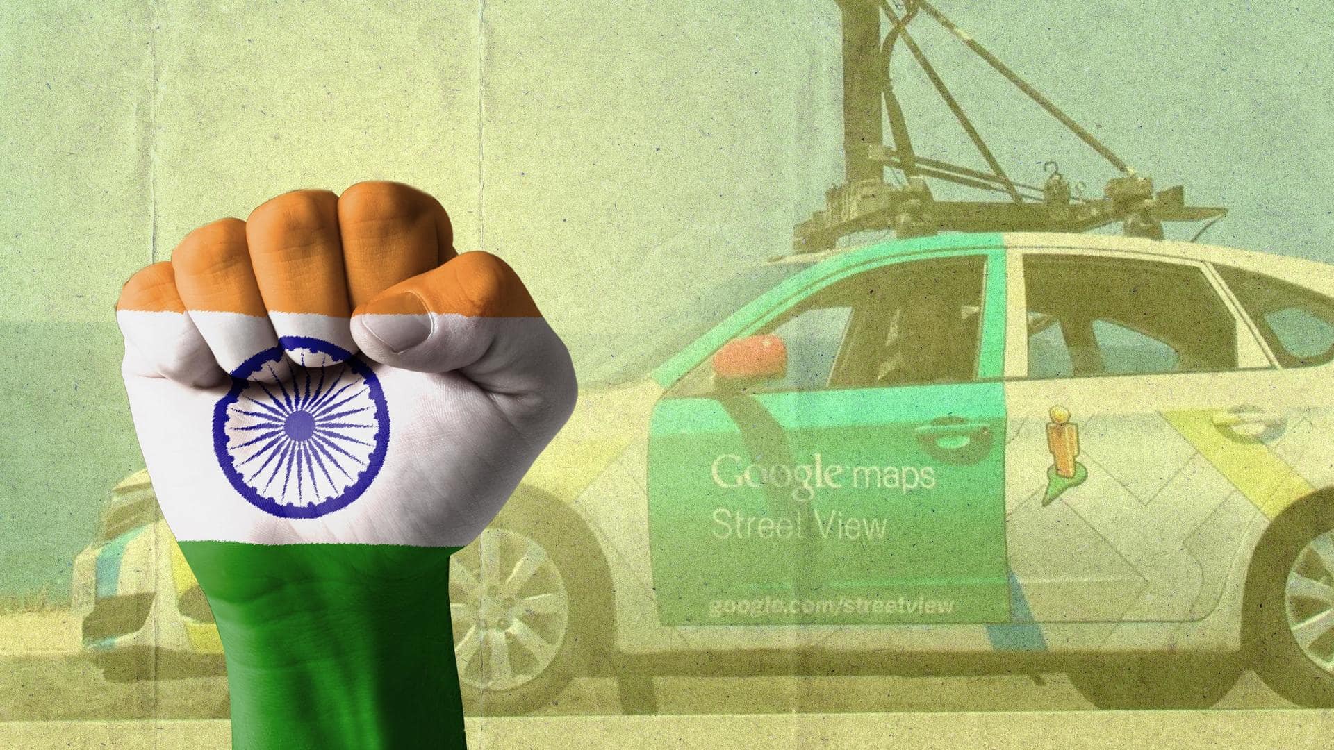
Explore India virtually: Google Street View now covers entire country
What's the story
Google Maps Street View gives users a panoramic 360-degree view of different locations. The feature was banned in India due to security reasons.
It made a return last year to 10 cities in the country. Now, 10 months later, Google has managed to bring almost the entirety of India under Street View.
Let's see how Street View works in India.
Context
Why does this story matter?
Google has had to deal with years of rejection when it comes to Street View in India. First launched in 2011, it was pulled back in 2016 owing to security concerns of the Indian government regarding sensitive defense installations.
Street View's re-entry in 2022 started a new battle in the geospatial space between Google and local companies like Wonobo and MapMyIndia.
India
Street View was reintroduced in 10 cities in 2022
Google first launched Street View on a pilot basis in Bengaluru in 2011. In 2022, it was reintroduced in Bengaluru, Chennai, Delhi, Mumbai, Hyderabad, Pune, Nashik, Vadodara, Ahmednagar, and Amritsar.
At the time, the company said it covered 150,000km of roads. The company planned to cover 700,000km in two years.
It seems Google achieved its target before time.
Information
India has a road network of over 6 million kilometers
What Google achieved in 10 months is nothing short of amazing. Especially considering how big India is. The country measures around 3,214km from north to south and about 2,933km from east to west. India has a road network of about 6.37 million kilometers.
How
Google partnered with Tech Mahindra and Genesys for Street View
To make Street View available in India, Google partnered with Tech Mahindra and Genesys. It was the first time the company introduced the service anywhere in the world by joining hands with third-party firms.
This was made possible by India's Geospatial Policy 2021, which lets local companies collect geospatial data and license it to others.
Data collection
Google uses Mahindra Scorpio for data collection
To map the country, Google does not use its own vehicles. The company uses Mahindra Scorpio to collect data for Street View.
It obtains data for Street View by driving around and capturing pictures with special cameras that collect images in multiple directions.
These images are later stitched together to give users a panoramic 360-degree view of the location they search for.
How-to
How to use Street View on phones?
Google Street View can be accessed via phones and the web. To use the Street View mode on phones, head to Google Maps.
Then tap the layers button below the search bar. From Map details, select Street View. Now, you will notice blue lines on the map indicating Street View's availability.
Click wherever you want to get a 360-degree view of that location.
Information
How to open Street View on the web?
On the web, head to Google Maps from any browser. Now, search for a location. Then, select Street View by clicking the layers button at the bottom of the screen. You will again see blue lines indicating the feature's availability.