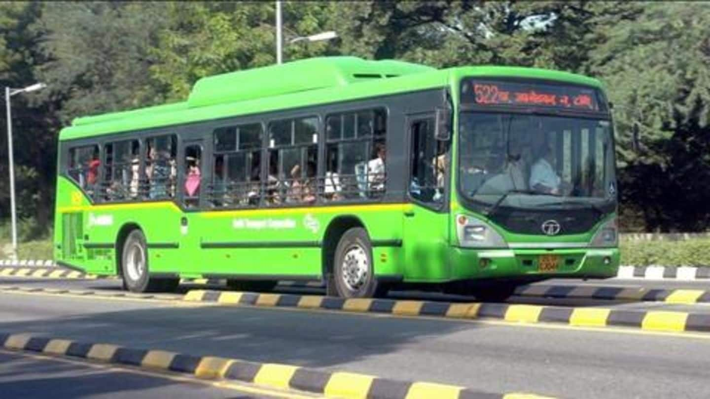
Now, Google Maps can tell if next bus/train is crowded
What's the story
No matter where you are, Google Maps is the ideal partner for day-to-day travel. The platform offers a range of features for on-road assistance, and now, Google has decided to make it even better. The tech giant, as Mashable reports, is introducing a feature that would let users know how crowded a bus or train will be. Here's all about it.
Feature
Google Maps would offer crowd estimate
Google is adding 'crowdiness' prediction to inform users how occupied the next bus, train or subway ride coming towards them would be. The feature won't give an exact number of passengers but an estimate of how crowded your ride would be. This would ultimately help you decide if you want to hop on the next ride or wait for another one.
Working
How Google would offer these predictions
Google will offer crowd predictions on the basis of the data sourced from commuters. The search giant has been collecting crowd information for peak and regular hours over the last few months. The data was collected on the basis of parameters like "many empty seats, few empty seats, standing room only, or cramped standing room only" and will now be used.
Delays
Maps will also show bus delay information
Along with crowd information, Google Maps will also inform users about potential bus delays. Meaning, you'll be able to use the service to determine if the bus you are waiting for is delayed and by how much time. The feature would leverage Google's traffic analysis capability and let you see where the delays are on the Map, giving an option to plan journeys accordingly.
Availability
Both Android and iOS users are getting the features
The new features are now available for people using Google Maps on Android and iOS. The search giant has said the capability would be active in 200 cities, but as of now, there is no word on the name of these cities. Notably, Google cited Delhi as one of the most crowded cities, which means people in India's capital will probably get the feature.