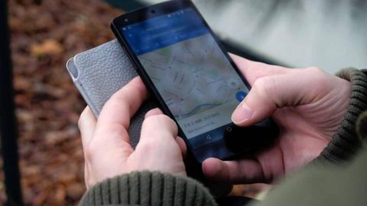
Soon, Google Maps will show you speed limits: Here's how
What's the story
Today, Google Maps' app makes an ideal companion for solo road trips.
It packs a range of features and can even send messages on your behalf - as you drive.
And, now, Google is upgrading Maps with a much useful feature, one that would show speed limits and make your trip a whole lot seamless.
Here's how it works.
Need
Speed limits: A long-overdue feature
While Google's Waze navigational platform has been offering speed limit information for years, Maps were kept away from the capability.
The feature went live in San Francisco and Rio de Janeiro in July 2017, but since then, there has hardly been any update on it.
Now, the folks at Android Police have reported that the feature is being rolled out to a wider audience.
Details
How speed limits work?
Once the feature is available on your phone, you'll be seeing a speed limit alert popping up on Maps while driving.
The alert would appear at the bottom-left corner of the navigational layout and show the maximum speed at which you could drive in that area.
This would not only ensure on-road safety but also save you from getting into trouble with traffic police.
Availability
Roll-out from the server side
Initially, the feature was tested in two regions, but now, it is available in New York City, Los Angeles, and Minnesota.
This seems to suggest that Google is flipping the server-side switch and enabling the feature for Google Maps users.
The feature wasn't available for us in India, but, with the change just being started, we expect it to appear in the coming weeks.