Earth's deepest point on land found hidden under Antarctica's ice-sheet
What's the story
For decades, scientists have wondered what lies beneath the ice sheets of Antarctica. Well, as per new findings, the White continent has been hiding a whole lot from us. Scientists have developed a high-precision map of Antarctica which has revealed that the deepest point on land on Earth lies under the ice sheets of the South Pole. Here are more details.
Details
Earth's deepest point lies underneath Denman Glacier
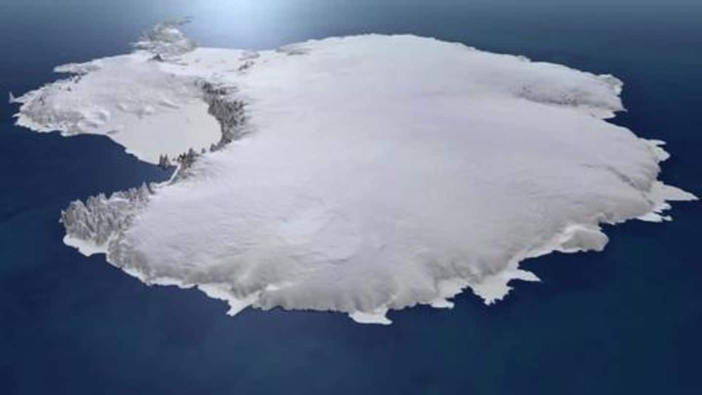
A team of glaciologists from the University of California, Irvine published the new findings in the journal Nature Geoscience on Thursday. The team developed an Antarctica bed topography map called BedMachine, the most accurate map yet. The findings made several considerable discoveries, including finding the deepest point on Earth's land, which apparently lies underneath the Denman Glacier in Antarctica's Queen Mary Land region.
Deepest point
Deepest point reaches 3.5 km below sea level
According to the findings, the bed of the Denman Glacier reaches 3.5 km below (11,500ft) sea level. In contrast, the lowest point on Earth's exposed surface lies just 413m (1,355ft) below sea level at the Dead Sea shore. This deep canyon under Denman is just about one-third the depth of Earth's deepest ocean point, the Mariana Trench, which descends 11 km below sea level.
BedMachine
How did the researchers create the map?
Researchers pooled in data from 19 institutions since 1967 which included nearly a million line-miles of radar soundings from Antarctica. Radar soundings are conducted by an aircraft flying in a straight line over Antarctica and sending down microwave pulses through the ice, which bounce back after hitting solid ground below. Ice shelf measurements from NASA's Operation IceBridge campaigns and seismic information was also used.
Past errors
Why are we only finding about this hidden canyon now?
Since radar soundings were conducted by aircrafts flying in a straight line, the data had a lot of gaps, which, till now, was filled using interpolation techniques. The study's lead author, Dr. Mathieu Morlighem, told BBC that every time a plane flew over Denman, the radar soundings could never detect the actual bed of the canyon below since it was quite narrow.
New methodology
What did researchers do different this time?
This time, Dr. Morlighem explained, they used a little bit of physics: the law of conservation of mass, to be precise. If the amount of ice flowing into a valley is known, along with the flow rate with which the ice is moving, the volume of ice inside the valley can be determined, which can indicate depth, based on width.
Other findings
Here are some other key findings from the research
With this new map detailing the contours of the bedrock under Antarctica's ice, researchers also found new ridges along the Transantarctic Mountains. Researchers said these ridges help hinder ice from East Antarctica from flowing across the Transantarctic Mountains and into the Ross Sea. Separately, it was found that the bed under the Thwaites Glacier has a sloping surface, which could quicken the glacier's melting.
Implications
Findings can impact studies on rising sea levels
From these findings, it can be inferred that while East Antarctica is not going to melt into the Ross Sea as fast as previously believed, Thwaites Glacier is at a greater risk. Similarly, the Pine Island Glaciers also face the risk of rapid ice retreat. These findings can play into other studies ascertaining the role of melting Antarctica ice sheets and rising sea levels.