Archaeologists turn to AI for exploration in Arabian desert
What's the story
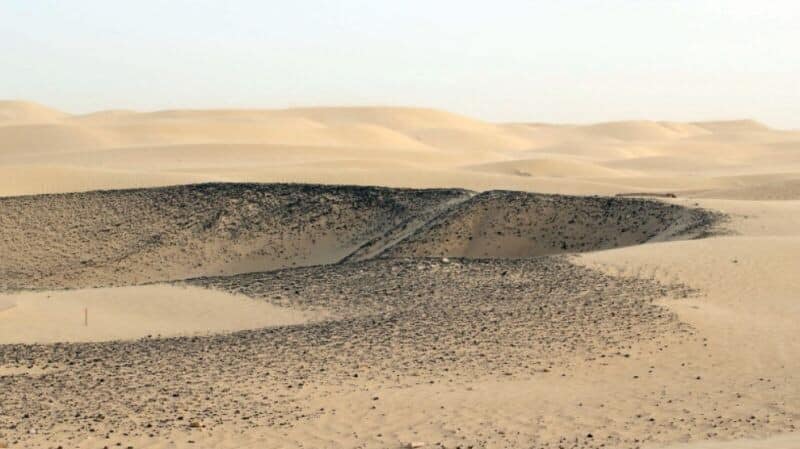
A team of researchers at Khalifa University in Abu Dhabi has successfully utilized artificial intelligence (AI), to identify potential archaeological sites within the Rub al-Khali. It is a vast desert spanning 650,000 square kilometers on the Arabian Peninsula. The research team, led by atmospheric scientist Diana Francis, developed a machine learning algorithm that analyzes images from synthetic aperture radar (SAR). This satellite imagery technique uses radio waves to detect objects hidden beneath surfaces such as sand or soil.
Technological fusion
Innovative use of AI and SAR in archaeology
While both SAR imagery and machine learning have been used separately in archaeology since the 1980s, their combined application is a pioneering approach in the field. This comes in handy as the traditional method of ground surveys is often challenging and time-consuming, due to the harsh desert conditions. Meanwhile, optical satellite images from platforms like Google Earth have been used for large-scale searches, but are frequently hampered by sandstorms and complex dune patterns.
Discovery
Algorithm uncovers potential sites
Francis trained the algorithm using data from Saruq Al-Hadid, a known archaeological site outside Dubai with evidence of 5,000 years of activity. After training, the algorithm indicated other potential areas nearby that have not yet been excavated. The technology is accurate to within 50cm and can generate 3D models of expected structures, providing archaeologists with insights into what lies beneath the surface.
Verification
Ground survey validates AI's predictions
In partnership with Dubai Culture, a government organization managing the site, Francis and her team conducted a ground survey using ground-penetrating radar. This survey "replicated what the satellite measured from space," confirming the accuracy of their AI-driven approach. Dubai Culture now plans to excavate these newly identified areas, potentially uncovering more archaeological treasures in the future.
Overcoming obstacles
SAR imagery overcomes challenges
Amy Hatton, a PhD student at the Max Planck Institute for Geoanthropology, described the use of SAR imagery to identify buried sites as "really exciting." She noted that by using SAR imagery, which avoids light scatter from dust particles, Francis and her team have overcome technical problems that make remote sensing difficult in desert regions. This innovative approach could revolutionize archaeological exploration in arid environments.
Global impact
AI and machine learning find applications in global archaeology
Khalifa University is not the only institution using AI to detect potential sites. Amina Jambajanstsan, another PhD student at the Max Planck Institute, is using machine learning to expedite the search for potential sites of interest in Mongolia's vast territory. Despite some researchers expressing reservations about over-reliance on technology in archaeology, these innovative approaches are proving valuable in regions where traditional methods fall short.