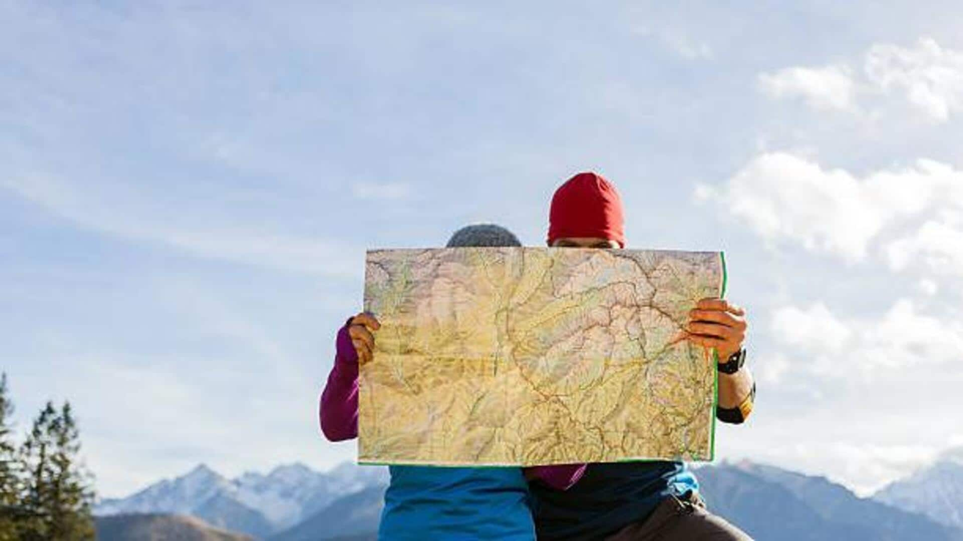
Master map-reading: 5 exercises for better navigation
What's the story
Topographical maps are essential tools for hikers, geologists, and anyone with a keen interest in the land's physical features.
These maps represent three-dimensional landscapes on a two-dimensional medium through the use of contour lines, symbols, and colors.
Reading them proficiently requires not only an understanding of these elements but also strong visual-spatial skills.
This article explores five visual-spatial exercises that can significantly enhance your ability to interpret topographical maps effectively.
Pattern recognition
Improve memory with pattern recognition
Pattern recognition is key! This is true for both identifying different terrains and symbols on a topo map.
One of the exercises is to look at a section of a map for one minute, cover it up, and then try to draw it from memory on a blank sheet of paper.
It helps improve memory recall and your ability to quickly recognize key features of the terrain.
Mental rotation
Enhance spatial orientation with mental rotation
Spatial orientation is a crucial skill for map reading. It involves understanding the position of an object from different perspectives.
One can practice this skill by doing mental rotation exercises. Look at an object or a piece of terrain on a map and try to imagine how it would look from a different direction or angle.
Regular practice can vastly enhance one's ability to navigate complex landscapes.
Distance estimation
Develop distance estimation skills
Being able to estimate distances on a map accurately is super important for route planning and landscape scale understanding.
A super helpful exercise is to measure distances between points on the map using the scale and a ruler or string.
Then, check these by walking or using an odometer.
Over time, this will train you to estimate distances accurately.
Contour lines
Strengthen contour line interpretation
Contour lines are the heartbeat of topographical maps, tracing the rise and fall of the land beneath your feet.
To improve your contour interpretation skills, try sketching cross-sections of various landscapes using only the contour information provided by maps.
This activity will train your brain to translate two-dimensional representations into three-dimensional landscapes more efficiently.
Orienteering
Boost navigation skills with orienteering
Orienteering is more than just a fun outdoor sport; it's also the perfect way to practice your topographical map reading skills in real-world settings.
Competing in orienteering events pushes you to make quick decisions with maps and compasses, all while navigating unfamiliar landscapes.
With time, your confidence and accuracy in reading topographical maps will skyrocket.
