Don't miss out on these hiking trails when in Nagaland
What's the story
Let's explore the thrilling side of Nagaland one trail at a time.
The northeast region of India happens to be a gem when it comes to scenic landscapes.
Of the many destinations, Nagaland is among the most coveted ones that are blessed with some stirring valleys and dense forests, perfect for a hike.
Let's check out five hiking trails that you must bookmark.
Flowers galore
Dzukou Valley Trail
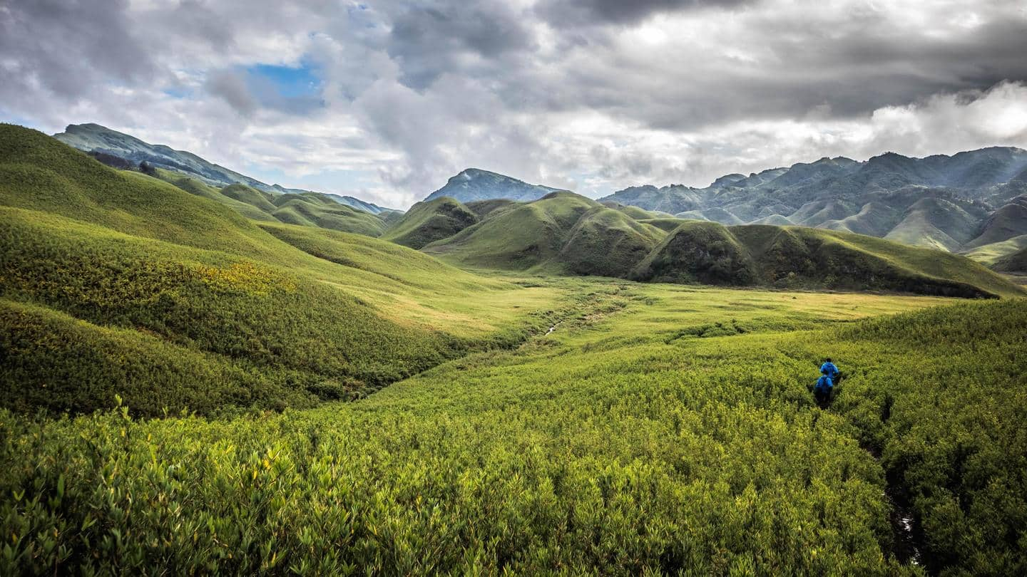
Dzukou Valley is a treat to the eyes for its stunning landscape.
Situated at an altitude of 2,438 meters above sea level, this hiking destination is dubbed the "valley of flowers."
The trail is about 27 kilometers long and is easy to moderate on the difficulty parameter.
On the way, you will spot some bright flowers, tall grasses, and blue mountaintops.
Second-highest peak
Japfu Peak
Japfu Peak in Kohima offers some of the most cherished views of Nagaland.
Interestingly, the mountain's topography resembles that of the Swiss Alps, so you may feel as if you are hiking in Switzerland.
Additionally, since it is the second-highest peak in the city, a hike here is considered moderately challenging.
There are no villages, houses, or signs of habitation on the way.
Mist-kissed mountains
Mount Kapamodzu
The locals of Nagaland also call Mount Kapamodzu "the second Dzukou."
It is the highest table-top mountain and the fourth-highest peak in Nagaland, standing at an elevation of 2,620 meters.
It is replete with wildflowers, hence the best time to plan a hike here is during spring.
However, if you are a winter person, you may enjoy it more with snow and frost.
Supernatural
Mount Tiyi
Also known as the "abode of the departed souls," Mount Tiyi has a lot of supernatural beliefs revolving around it.
Here, you can explore nature's bounty of Nagaland, which features valleys, streams, meadows, and flowers.
October to February is the best time to plan a hike to this idyllic mountain.
Once you reach the peak, you will be 6,459 feet above sea level.
Highest peak
Mount Saramati
Mount Saramati is the highest peak in Nagaland, and a hike through it is not for the faint-hearted.
Situated at an altitude of 12,552 feet above sea level, this trail route is quite challenging.
It is best to hike in a group as the mountain is quite isolated and features torrential weather conditions.
Camping isn't allowed on this peak, so plan your hike accordingly.