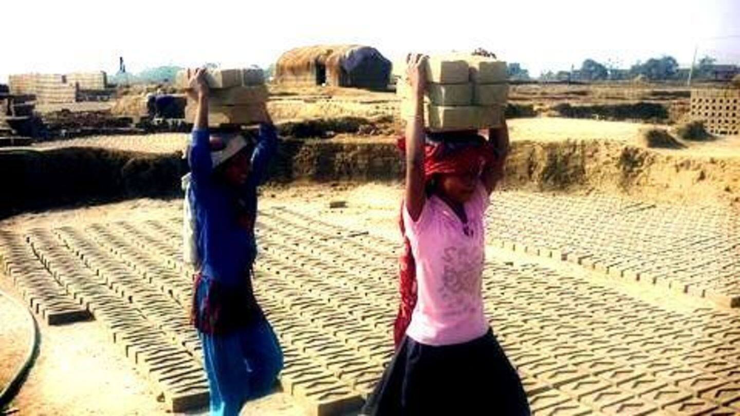
Fighting slavery in India with the help of satellites!
What's the story
The origin of slavery, the practice of owning human beings, often as forced laborers, dates back to as early as 3500 BC. Slavery can be seen even today in India, especially in brick kilns, rice mills, and brothels. Researchers from England are now working to eradicate slavery in north India with the help of detailed satellite imagery to locate such places. Find out how!
Slavery
Google Maps to rescue slaves in India
Despite the prohibition on bonded labor in 1976, there are millions of slaves in India, including children and women; most of them belong to lower income families and castes. So, a geospatial expert team from the University of Nottingham is trying to identify potential sites of slavery and report them to the government with the help of volunteers and Google Maps.
Slavery from Space
Identifying the places notorious for slavery
Dr. Doreen Boyd, a researcher working on the 'Slavery from Space' project, said they are currently focusing on getting the accurate locations of the brick kilns and statistics. She added Anti-Slavery activists on the ground would help them in reporting the statistics and locations to authorities. Activists said the project would aid in identifying remote sites that are usually beyond official scrutiny.
Quote
More pressing challenges exist
Jakub Sobik, a spokesman for London-based NGO Anti-Slavery, suggested apart from bonded labor there are several other serious problems. He said: "There are other, more pressing challenges like tackling problematic practices including withheld wages, lack of transparent accounting, no enforcement of existing labor laws."
Brick Kilns
Brick kilns, the most potential sites of exploitation
The International Labor Organization in a 2016 report estimated that about 70% of South Asia's brick kiln workers were working either in bonded labor or forced labor; nearly one-fifth of these workers were child laborers. Hence, the 'Slavery from Space' project is first focusing on a 2,600 sq-km area in Rajasthan packed with brick kilns; it plans to expand to other states gradually.
The Project
The researchers rely on 'citizen science' or 'crowd sourcing'
The volunteers on the ground carefully go through thousands of satellite images to identify the locations of brick-making sites. Every image is shown to several volunteers, who independently mark the locations, which are then sent to Anti-slavery activists. For getting access to more detailed images than the Google Maps imagery, the research team is now trying to collaborate with satellite companies.
Bangladesh
Satellite images were used to identify child labor camps
A University of Nottingham research team also located up to seven child slavery camps in Bangladesh using images from Google Earth. Two of such camps were located on the UNESCO-protected World Heritage Site Sunderbans National Park. The team said the camps used forced labor who worked for up to 40 hours continuously. The child slaves were found in fish and pet food processing plants.