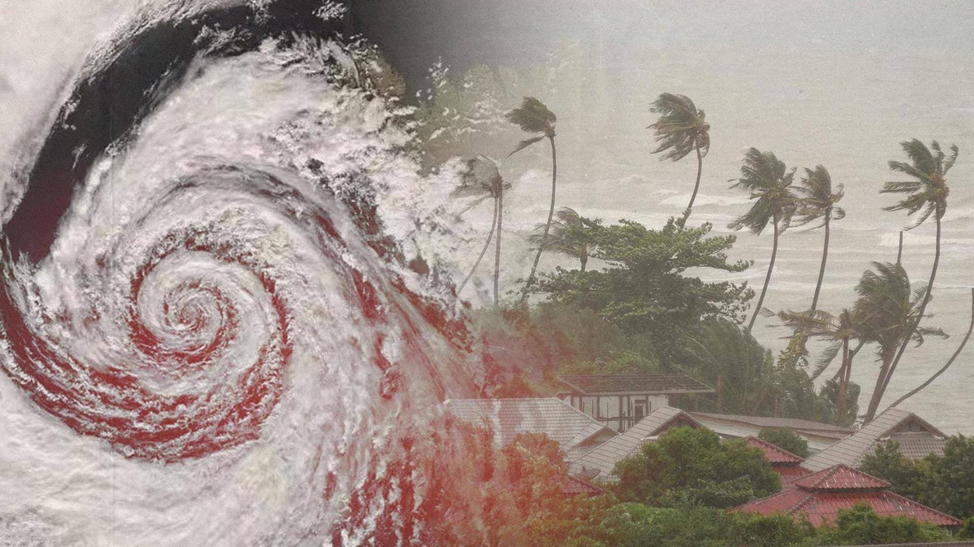
Cyclone Mocha intensifies, headed toward Bay of Bengal coasts: IMD
What's the story
A deep depression called "Mocha" has transformed into a cyclonic storm in the southeast Bay of Bengal, as confirmed by the India Meteorological Department (IMD) in one of its latest bulletins. The weather department also stated that the cyclonic storm exhibited a north-northwestward movement at a reported speed of 8kmph in the past six hours.
Context
Why does this story matter?
Last week, the IMD predicted that Cyclone Mocha would hit parts of Odisha and West Bengal. However, the cyclonic storm is now headed toward the Myanmar-Bangladesh coasts and is not expected to ravage the Indian coastline. As a precaution, units of the Indian Coast Guard (ICG) have been placed on high alert amid the warning from the weather department.
Details
IMD provides location update of Cyclone Mocha
According to the IMD, Cyclone Mocha is set to continue its trajectory in a north-northwestward direction and is set to attain severe cyclonic storm status by Thursday midnight. As of 5:30am, the cyclonic storm was nearly 510km west-southwest of Port Blair, 1,120km south-southwest of Myanmar's Sittwe, and 1,210km south-southwest of Bangladesh's Cox's Bazar.
Twitter Post
Twitter post by IMD
Deep Depression, intensified into a cyclonic storm Mocha and lay centered about 510 km west-southwest of Port Blair, 1210 km south-southwest of Cox's Bazar (Bangladesh) at 0530 hrs IST of today the 11th May. To intensify into a severe cyclonic storm by mid-night of today. pic.twitter.com/n6AfDv5YaP
— India Meteorological Department (@Indiametdept) May 11, 2023
More details
Mocha to intensify into very severe cyclonic storm by Friday
From Friday morning, the system will change its course gradually and move in a north-northeast path. The weather department also predicted that Cyclone Mocha would intensify even further, reaching the status of a very severe cyclonic storm over the central Bay of Bengal by Friday evening. Notably, the peak intensity is forecast to happen on Saturday evening.
Know more
Cyclone Mocha to hit maximum windspeed of 120-130kmph during landfall
Upon making its landfall between Cox's Bazar and Kyaukpyu in the early hours of Sunday, the cyclonic storm will slowly undergo a slight weakening. The met department also predicted that the cyclonic storm is going to hit a maximum sustained windspeed of 120-130kmph at the time of landfall, with gusts set to reach up to 145kmph.
Further information
Advisory released for fishermen amid Cyclone Mocha
Fishermen, trawlers, small boats, and ships have been directed not to venture into the southeast parts of the Bay of Bengal, reported the news outlet Mint. Furthermore, the weather office also proposed regulation of offshore activities, tourism, and shipping near the Andaman and Nicobar Islands from Monday to Friday this week.
Further information
Know how cyclones are named
As per the World Meteorological Organization (WMO), tropical cyclones in the Atlantic and the Southern Hemisphere (South Pacific and Indian Ocean) are typically named in alphabetical order, and the names of men and women are alternated. When it comes to the Northern Indian Ocean, the names are listed alphabetically nation-wise and are gender-neutral.