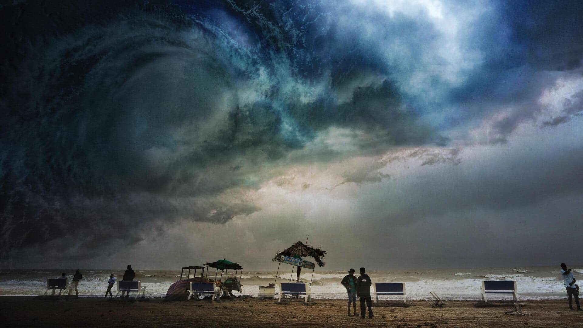
Cyclone Midhili likely to make landfall in Bangladesh on Saturday
What's the story
The India Meteorological Department (IMD), on Thursday, warned of an upcoming cyclone that could impact India. It said that a deep depression formed over the Bay of Bengal could intensify into a cyclonic storm by Friday. It is predicted to bring heavy rainfall to coastal Odisha, Andhra, and West Bengal before making landfall on the Bangladesh coast on Saturday. However, the IMD cautioned that the storm can change its path and intensity like it did in earlier cyclones.
Context
Why does this story matter?
Cyclone Midhili—a name suggested by the Maldives—would be the Bay of Bengal's second cyclone in less than a month. Earlier in October, Cyclone Hamoon hit Bangladesh with winds of up to 104kmph, killing two people and causing damage to homes. Nearly three lakh people also faced evacuation after it hit the southern areas of the country. Meanwhile, the coastal areas of Odisha, West Bengal, Andhra Pradesh, and the northeastern states have been placed on high alert to avoid its impact.
Details
Heavy rainfall expected in Odisha, West Bengal, northeastern states
Cyclone Midhili is anticipated to bring heavy rainfall and wind speeds of up to 70kmph to various parts of Odisha, particularly the coastal region, according to IMD. It also predicted light to moderate rainfall in the coastal districts of West Bengal on Thursday and Friday. Additionally, light to moderate rainfall with isolated heavy rainfall is predicted for Nagaland, Manipur, Mizoram, and Tripura from Thursday to Saturday, as well as south Assam and east Meghalaya on Friday and Saturday.
Twitter Post
Satellite imagery showing intensifying cyclonic storm
Invest #94B in the Bay of Bengal could strengthen into #CycloneMidhili before making landfall in Bangladesh late on Friday. Latest satellite view: pic.twitter.com/s23rtyzEHS
— Zoom Earth (@zoom_earth) November 16, 2023
What Next?
Fishermen advised against venturing into deep seas
Cyclone Midhili is expected to make landfall between Khepupara and Mongla in Bangladesh on Saturday morning. Due to the rough sea conditions caused by it, the IMD advised fishermen not to venture into the deep seas until Saturday. The weather office stated that the deep depression will continue moving north-northeastward at a speed of 17kmph. "Guidance from various numerical models is indicating north-northeastwards movement towards the Bangladesh coast. Peak intensification is suggested up to marginal cyclone stage," it said.