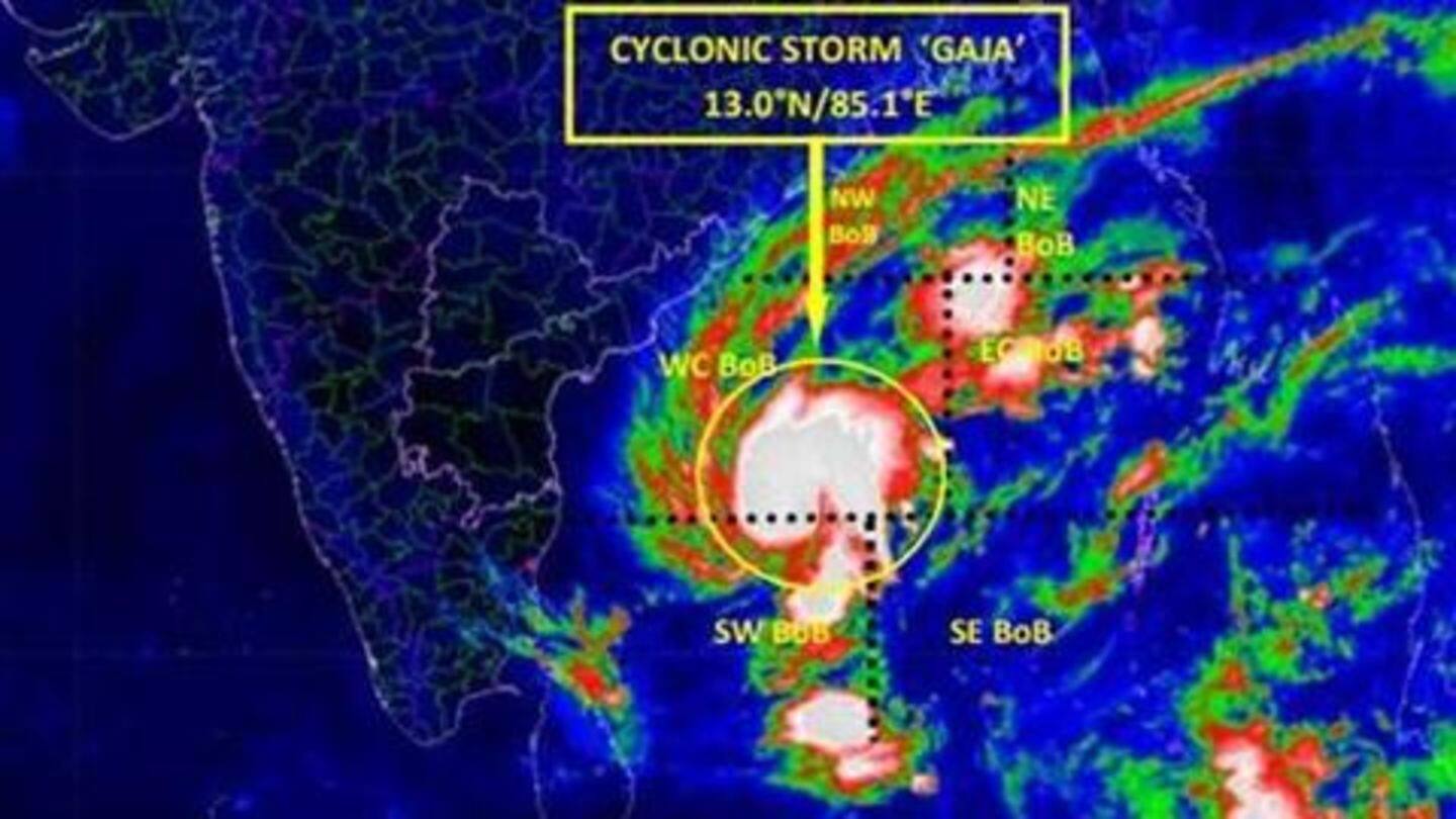
Cyclone Gaja to make landfall: Danger areas, state of preparations
What's the story
Cyclone Gaja is set to make landfall on Thursday between Cuddalore and Pamban in Tamil Nadu. With the storm expected to intensify to a severe cyclonic storm in the next six hours, extreme rainfall is expected in isolated places in Cuddalore, Nagapattinam, Karaikal, Tiruvarur, Thanjavur, Pudukkottai, Tuticorin, and Ramanathapuram districts. A complete suspension of fishing operations has been advised. Here's more.
Preparations
30,000 rescue personnel, two navy ships, aircraft on standby
As a contingency measure, over 30,000 rescue personnel have been kept on standby, and all educational institutes in the regions of Puducherry and Karaikal have been shut. Two Indian Navy ships - INS Ranjir and INS Khanjar - are standing by to assist heavily hit areas as and when they need relief. Meanwhile, helicopters, Dornier aircraft, and P8I aircraft are also on standby for reconnaissance and evacuation operations.
Twitter Post
Things to keep in mind to weather the storm
#CycloneGaja #TamilNadu #AndhraPradesh pic.twitter.com/bJFww8FZ0B
— NDMA India (@ndmaindia) November 14, 2018
Other details
Dams, lakes, and river channels are being continuously monitored
With heavy rainfall posing the risk of filling up dams in less than 24 hours, the Central Water Commission (CWC) has advised action as per Standard Operating Procedure. The Tamil Nadu government is continuously monitoring dams, lakes, and river channels to avert unforeseen floods. Additionally, the government has also held discussions with oil marketing companies in a bid to maintain sufficient fuel stock.
Information
Cyclonic storms are not be taken lightly
A month back, another cyclonic storm, Titli, devastated the coasts of Odisha and Andhra Pradesh. Titli, with wind speeds of 175kmph, devastated crops, uprooted electricity and communications poles, and left 70 people dead.